Aerial Innovations: Enhancing Crop Health with Precision Drone LLC
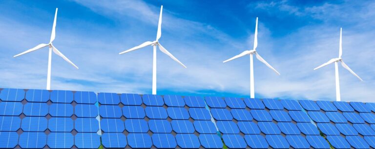
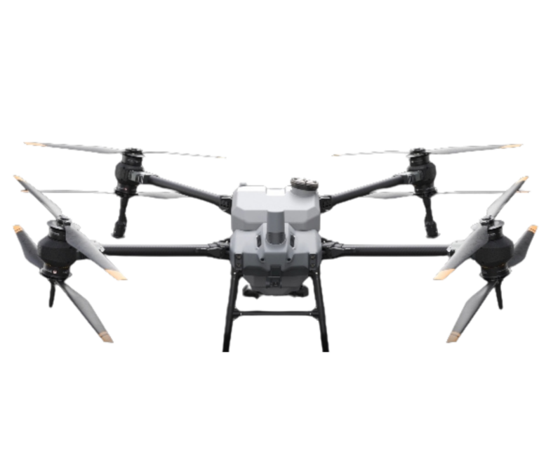
In an era where technology seamlessly intertwines with nature, Precision Drone LLC stands at the forefront of transforming agriculture and conservation efforts. By employing state-of-the-art drone technology, we offer a suite of advanced aerial solutions tailored to optimize crop health and manage natural resources with precision. Our services—ranging from precise monitoring to targeted applications—ensure that clients receive comprehensive and efficient support to meet their agricultural goals. With a commitment to the sustainability of Michigan’s agricultural landscape, we provide reliable and innovative agricultural drone services that enhance productivity while carefully managing pricing to suit a variety of needs. Join us as we delve into how our technology is reshaping the future of agriculture and conservation.

Revolutionizing Agriculture with Drones
The integration of drone technology into agriculture is revolutionizing how crops are monitored and managed. This section explores the innovative techniques and solutions that drones bring to the agricultural sector.
Precision Monitoring Techniques
Precision monitoring is a cornerstone of modern agriculture, allowing farmers to observe crop health through detailed aerial images. Drones equipped with advanced sensors provide real-time data on plant conditions, soil moisture levels, and pest infestations.
These insights enable farmers to make informed decisions, improving yields and resource efficiency. High-resolution cameras capture images that can be analyzed to detect early signs of disease or stress, mitigating potential crop losses.
Moreover, drones cover large areas swiftly, offering a cost-effective alternative to traditional monitoring methods. This capability is especially beneficial for large-scale farms where manual inspections are impractical.
Targeted Application Solutions
Drones are not only useful for monitoring but also for delivering targeted applications. By utilizing GPS and mapping software, drones can apply fertilizers, pesticides, and herbicides with pinpoint accuracy.
-
Identify target areas: Using drone-captured images, farmers can pinpoint locations requiring treatment.
-
Set application parameters: Input exact chemical amounts and application methods into the drone’s software.
-
Execute application: Drones autonomously carry out the task, ensuring even distribution and minimal waste.
This precision reduces chemical usage, promoting environmental sustainability. Furthermore, it cuts operational costs, as drones can quickly treat fields without the need for heavy machinery.
Enhancing Crop Health
Improving crop health is vital for maximizing output and ensuring food security. This section delves into how aerial surveillance and real-world applications have transformed crop management.
Benefits of Aerial Surveillance
Aerial surveillance via drones provides unmatched visibility into crop conditions. High-altitude imaging offers a comprehensive view of fields, enabling early detection of anomalies.
Farmers benefit from:
-
Identifying pest infestations before they spread.
-
Monitoring irrigation systems for efficiency.
-
Evaluating crop growth patterns over time.
Furthermore, drones can operate in various weather conditions, ensuring constant data flow and enabling farmers to adapt strategies proactively.
Case Studies of Successful Implementation
Implementing drone technology has yielded significant success in various agricultural settings. For instance, a Michigan-based corn farm utilized drones to monitor crop health, resulting in a 15% increase in yield.
Key Takeaways:
-
Early pest detection prevented widespread damage.
-
Improved irrigation management conserved water resources.
-
Precision application of fertilizers reduced costs by 20%.
These cases highlight the tangible benefits of adopting drones in agriculture, showcasing improved efficiency and profitability.
Sustainable Resource Management
Sustainable management of resources is crucial for preserving the environment while ensuring agricultural productivity. Explore how drones contribute to conservation and resource surveys.
Conservation Through Drone Technology
Drones play a pivotal role in conservation by providing detailed insights into ecosystems. Through aerial mapping, drones can identify areas requiring protection or restoration.
Key applications include:
-
Monitoring wildlife habitats to prevent illegal activities.
-
Assessing forest health to manage deforestation.
-
Tracking vegetation changes to guide reforestation efforts.
Such capabilities ensure conservation efforts are data-driven and targeted, maximizing their impact on ecosystems.
Efficient Natural Resource Surveys
Conducting surveys with drones offers a time-efficient method to manage natural resources. Drones equipped with LiDAR or multispectral sensors provide accurate data on terrain and vegetation.
Survey steps include:
-
Plan the survey: Define the area and objectives.
-
Deploy drones: Capture high-resolution images and sensor data.
-
Analyze results: Process data to generate actionable insights.
This approach reduces survey time from weeks to days, enabling quicker decision-making and resource allocation.
Agriculture Drone Services Pricing
Understanding the cost of drone services is essential for farmers considering this technology. This section outlines pricing factors and compares service packages.
Understanding Cost Factors
The pricing of agricultural drone services depends on several factors:
-
Flight duration: Longer flights incur higher costs.
-
Data processing complexity: Advanced analysis requires specialized software.
-
Service scope: Comprehensive packages offering multiple services tend to be more expensive.
Farmers must consider these elements to align services with their budget and needs.
Comparing Service Packages
Service packages vary in features and pricing. Here’s a comparison of typical offerings:
|
Package Type |
Features |
Price Range |
|---|---|---|
|
Basic |
Aerial imaging and basic analysis |
$500 – $1,000 |
|
Standard |
Imaging, analysis, and targeted applications |
$1,000 – $2,500 |
|
Premium |
Advanced analysis, comprehensive surveys, and ongoing support |
$2,500 and above |
Selecting the right package involves balancing desired services with available budget.
Future of Aerial Innovations
The future of aerial innovations holds exciting possibilities for agriculture. Here, we discuss technological advancements and expanding applications.
Technological Advancements
Ongoing advancements in drone technology promise to enhance agricultural efficiency further. Key areas of development include:
-
Improved battery life for extended flight times.
-
Enhanced AI for autonomous decision-making.
-
Advanced sensors for more precise data gathering.
These innovations will enable drones to perform more complex tasks, increasing their utility in agriculture.
Expanding Applications in Agriculture
As technology evolves, the applications of drones in agriculture continue to expand. Beyond traditional monitoring, drones are now used in:
-
Soil analysis: Assessing soil health and fertility.
-
Weather forecasting: Predicting weather patterns to guide planting decisions.
-
Harvest planning: Optimizing harvest schedules based on crop readiness.
These expanded applications promise to make agriculture more adaptive and resilient to challenges, supporting global food security initiatives.