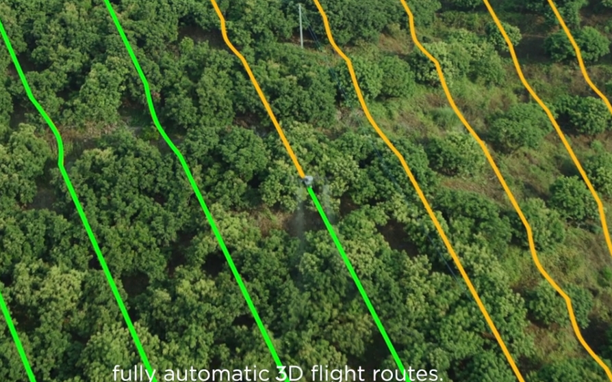
In recent years, the use of drone technology has revolutionized environmental conservation and land surveying. At Precision Drone LLC, we utilize state-of-the-art drones to provide comprehensive environmental surveying services, offering valuable insights into land use, natural resource management, and biodiversity protection. This blog post explores the benefits and applications of drones in environmental conservation, highlighting how they support sustainable land management practices.
The Power of Aerial Surveying in Conservation
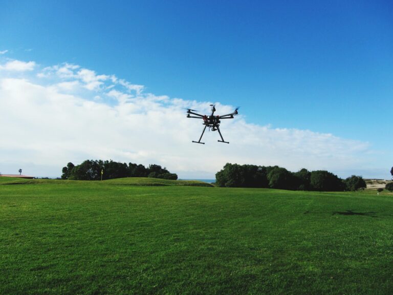
Drones equipped with high-resolution cameras and advanced sensors have become indispensable tools in environmental surveying. They provide a bird’s-eye view of vast landscapes, allowing for detailed mapping and analysis that would be challenging to achieve through traditional ground-based methods. Our drones, such as the DJI AGRAS T50, are designed to capture intricate details of terrain, vegetation, and water bodies, providing critical data for conservation efforts.
Applications of Drone Surveying in Environmental Conservation
1. Land Use and Habitat Mapping: One of the primary applications of drones in environmental conservation is land use and habitat mapping. Drones can quickly survey large areas, capturing high-resolution images that reveal the layout of different land types, vegetation cover, and water features. This data is crucial for identifying critical habitats, assessing the health of ecosystems, and planning conservation strategies.
2. Monitoring Biodiversity and Wildlife: Drones provide a non-intrusive way to monitor wildlife populations and biodiversity. They can be used to track the movement of animals, observe nesting sites, and count species populations, all without disturbing the natural behavior of the animals. This capability is particularly valuable for monitoring endangered species and understanding the impacts of environmental changes on biodiversity.
3. Assessing Environmental Impact: Environmental surveying with drones is also essential for assessing the impact of human activities, such as agriculture, construction, and mining, on natural ecosystems. Drones can detect changes in land use, identify areas of deforestation, and monitor the spread of invasive species. This information is critical for developing mitigation strategies and ensuring compliance with environmental regulations.
Benefits of Using Drones in Environmental Conservation
1. Enhanced Accuracy and Efficiency: Drones offer a level of accuracy and efficiency that traditional surveying methods cannot match. They can cover large and remote areas quickly, providing real-time data that is accurate and up-to-date. This efficiency reduces the time and cost associated with environmental surveys, making it easier to conduct regular monitoring.
2. Access to Remote and Difficult Terrain: Drones can access areas that are difficult or dangerous for humans to reach, such as dense forests, wetlands, and mountainous regions. This capability allows for comprehensive surveys of diverse habitats, providing a more complete picture of the environmental landscape.
3. Supporting Sustainable Land Management: By providing detailed and accurate data, drones support sustainable land management practices. They help landowners, conservationists, and policymakers make informed decisions about land use, resource allocation, and environmental protection. This data-driven approach is essential for balancing development needs with conservation goals.
Conclusion
At Precision Drone LLC, we are committed to leveraging drone technology to advance environmental conservation and sustainable land management. Our environmental surveying services provide the data and insights needed to protect natural resources, preserve biodiversity, and ensure the responsible use of land. By integrating drones into conservation efforts, we can better understand and mitigate the impacts of human activity on the environment.
Drones are not just tools for agriculture; they are powerful allies in the fight to protect our planet’s natural heritage. If you are interested in learning more about how our drone services can support your conservation projects, contact Precision Drone LLC today.
